Clear Sky Aerials is now offering photogrammetry and LiDAR data processing services. We are well versed in most well-known photogrammetry engines including Pix4D, Bentley ContextCapture, and DroneDeploy. We’re offering both desktop and cloud-based processing options and can tailor our offerings to suit your needs.
Common Deliverables:
- 2D Orthomosaic
- Dense Point Cloud
- DEM/DTM
- CAD Extraction Services (provided in .dxf format)
- Data Acquisition Services and Planning
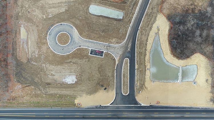
Clear Sky Aerials provides aerial photography, inspection, and mapping services in southeast Michigan. Contact us today for help with your data processing.

0 Comments