Our Services
We draw upon our experience in engineering and construction to provide valuable insights focused on improving communication between project stakeholders, reducing costly mistakes, and mitigating risks.

Aerial Photography
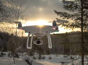
High resolution photos and videos for project site documentation, inspections, real estate, marketing, and more!

Mapping
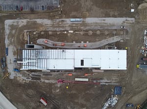
High resolution orthorectified maps. High accuracy obtained through use of RTK and Ground Control Points.

3D Modeling
3D Models of bridges, buildings, project sites, etc. Tied down to survey control. Used for inspections, survey, marketing, and more.

Data Processing
Photogrammetry and LiDAR processing. Delivering orthomosaics, 3D mesh, point clouds, and feature extraction.

Construction Services
Complete site documentation including photos, videos, maps, and 3D models delivered in a user friendly web interface
About Us
Clear Sky Aerials is a Michigan-based drone service provider specializing in aerial photography, inspection, and mapping services. We have FAA Certified drone pilots in Ann Arbor, Detroit, and Traverse City with experience flying projects in Michigan and many other states nationwide. We use state-of-the-art equipment, strong attention to detail, and great customer service to deliver our clients the best experience and product. At Clear Sky Aerials we say you only get what you give. It’s a New Radical way of thinking.

Get in Touch
Call or fill out the Contact Form and we will get back to you within 24 hours.
Locations
Ann Arbor, MI
Detroit, MI
Traverse City, MI
Give us a ring
734-436-1266