Clear Sky Aerials offers high-resolution mapping and 3D modeling services.
Need help with processing your data sets? Check out our Data Processing services page. We can help with any part of your mapping and modeling projects from planning and acquisition to processing final deliverables.
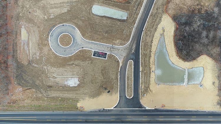
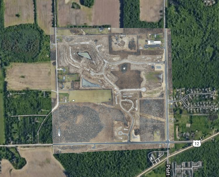
Orthomosaics
Point Clouds
Railroad bridge point cloud from photogrammetry. View it here or by clicking on the image below.


