Clear Sky Aerials Construction Services help contractors make informed decisions, monitor progress, share insights, align teams, and inform project stakeholders. Remote project monitoring and site inspection help to catch conflicts sooner, make on-the-ground decisions quickly, and enhance safety.
Site Overview Comparison
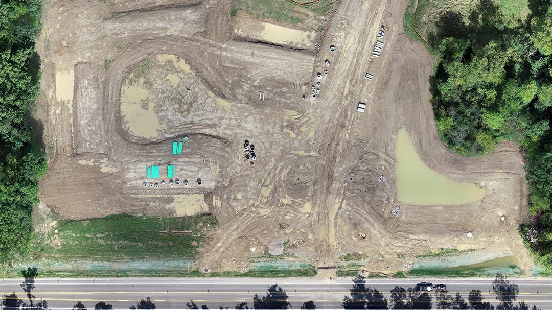
Orthomosaics provide a top-down view of the project site. This can be thought of as updated google earth imagery and can be processed in real-time on site. Once the map is complete, it can be viewed on multiple online platforms or even printed as an informational map.

360 Degree Panorama
360 degree panorama images allow for a first-person interactive view of your site. This could be in one location, providing an overview of the entire site, or in multiple locations to provide greater detail of certain site activities.
Photos


Video
Web-Based Data Viewer
We utilize a variety of web-based data viewers that allow you to quickly view your data, make measurements, annotate, and share with project stakeholders. An example is shown below.
